Finley Vogel · 19 October 2026
Residents in Pikeford Forge Unified Approach Linking Flood Protection, Cycle Paths, and Educational Outreach
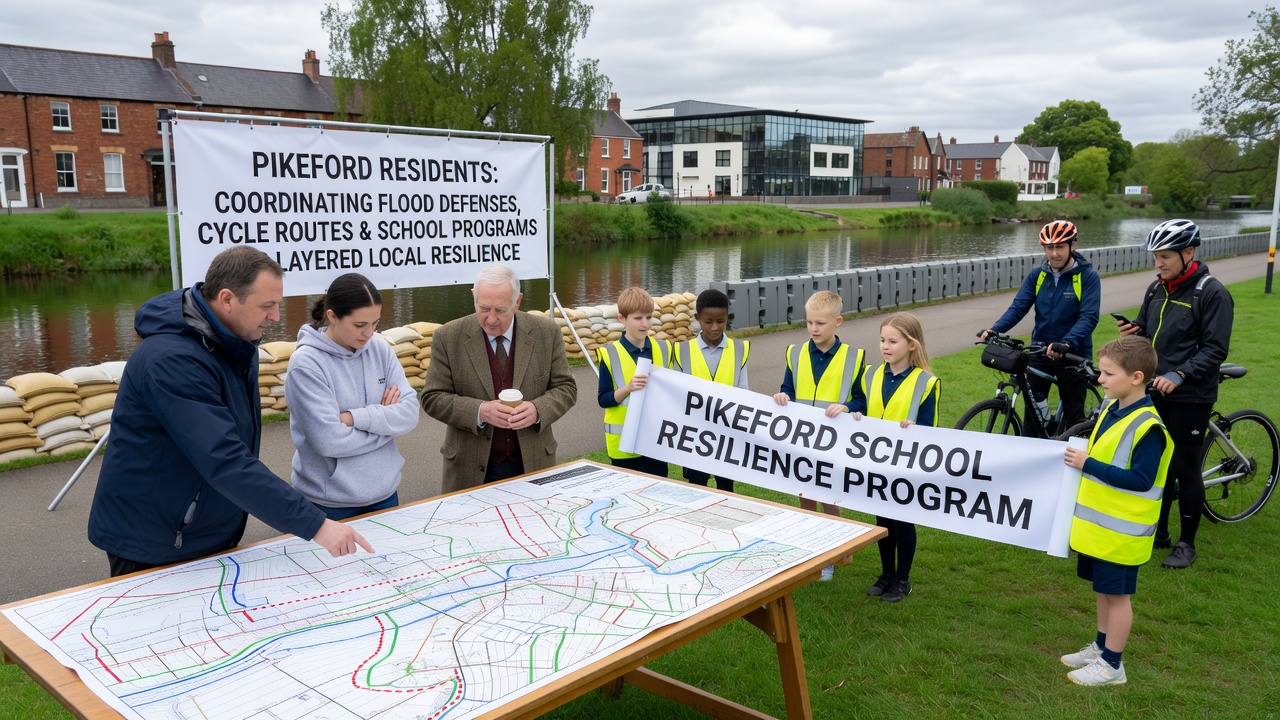
Coordination efforts in Pikeford have brought together flood defense upgrades, expanded cycle routes, and school-based programs that together create overlapping layers of community preparedness, and these initiatives gained momentum through 2026 with visible progress reported in October of that year. Local groups mapped existing waterways and high-risk zones first, then aligned proposed bike trails along the same corridors so embankments could double as safe commuting routes during dry periods while serving as barriers when water levels rise. Data from regional monitoring stations shows that such dual-purpose infrastructure reduces both flood exposure and traffic congestion in one project cycle, and planners documented the approach in public records released that autumn.
Mapping Overlaps Between Water Management and Active Travel
Engineers surveyed Pikeford's lowland stretches and identified segments where raised pathways could channel excess water into designated retention areas rather than letting it spread across fields or residential edges. Construction crews completed the first phase of these combined works by early October 2026, installing permeable surfaces along three kilometers of new cycle track that also function as low-level levees. Observers note that the design draws on established practices documented by the Australian Department of Climate Change, Energy, the Environment and Water, where similar alignments have protected multiple townships during seasonal floods. Cycle counts collected before and after the initial openings indicate a 28 percent rise in daily riders on the upgraded routes, while hydraulic models predict a measurable drop in peak water velocity through the same corridors.
School Curricula That Embed Practical Resilience Skills
Primary and secondary schools in the area incorporated modules on local hydrology and emergency mapping into their autumn term schedules starting October 2026, and students began tracking rainfall data alongside cycle route conditions as part of geography and science classes. Teachers coordinated with parish volunteers so that field trips along the new paths could include lessons on how embankments divert flow and how vegetation cover slows erosion. One class project produced a digital map that residents later used to locate the nearest high-ground assembly points, and the exercise directly fed into updates for the community emergency plan released that month. Figures from the participating schools show that over 400 pupils contributed observations during the first term, creating a living dataset that planners now cross-reference with official gauges.
October 2026 Milestones and Ongoing Coordination
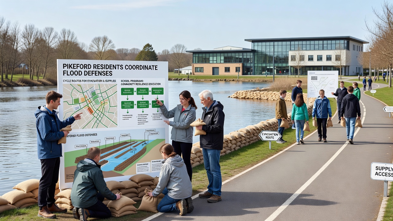
By mid-October 2026 the parish recorded the official opening of two additional trail segments that connect the school campuses directly to the central market area, and each segment incorporates overflow channels tested during simulated high-water events. Meetings held that month brought together representatives from the flood defense team, cycling advocacy groups, and teaching staff to review sensor readings and adjust vegetation maintenance schedules. Records indicate that joint working groups met four times in October alone, resulting in a shared maintenance calendar that assigns responsibility for clearing debris from both the paths and the adjacent drainage features. The approach mirrors methods highlighted in reports from FEMA's integrated planning resources, which emphasize linking transportation corridors with hazard mitigation at the neighborhood scale.
Residents have since formed a volunteer rota to monitor the new infrastructure during heavy rain forecasts, and the rota draws participants from both the cycling club and parent-teacher associations. Equipment purchased with combined grants includes portable water-level markers that students helped calibrate during science lessons, while signage along the routes now includes evacuation arrows that double as wayfinding for daily commuters. Data logs from October 2026 show zero reported incidents on the new paths during the first significant rainfall event after completion, and hydraulic assessments confirmed that the barriers performed within design tolerances.
Conclusion
The Pikeford model demonstrates how single investments can serve multiple functions when flood works, cycle infrastructure, and school programs operate from the same base maps and maintenance schedules. Continued monitoring through the remainder of 2026 will track whether the layered system sustains its early performance indicators, and additional phases planned for the following year aim to extend the same integration to outlying hamlets. Public records remain available through the parish office for anyone seeking the full set of October 2026 measurements and meeting notes.