Jonas Schwarz · 21 September 2026
Green Pathways Emerge from Community Efforts in Pikeford Lowlands
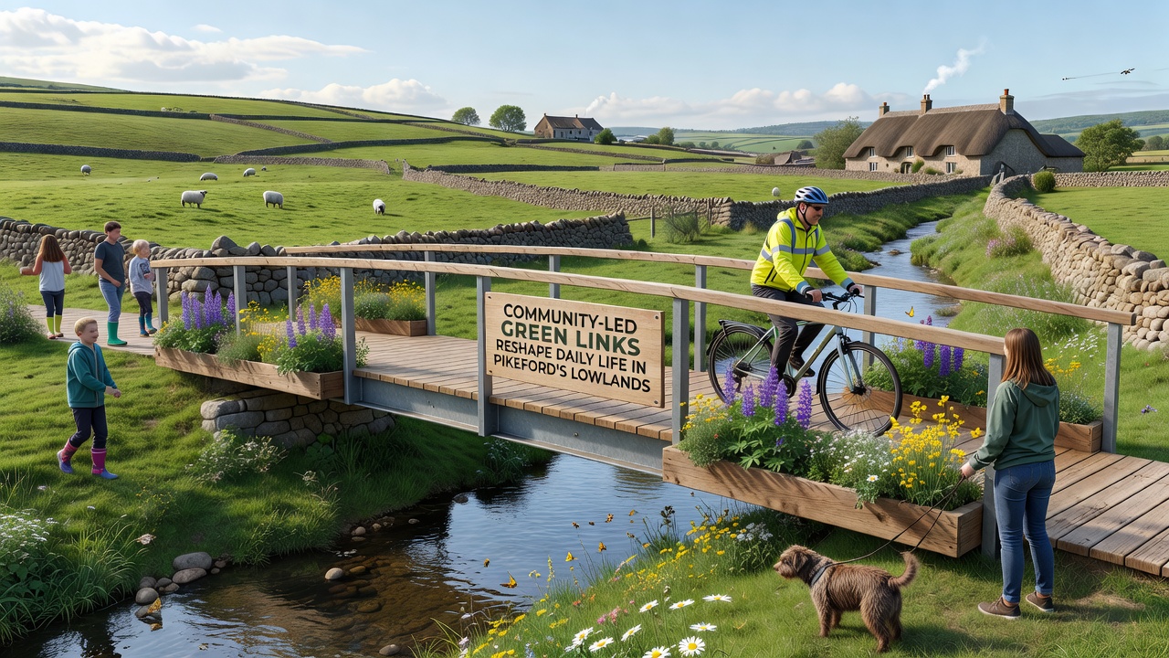
Community groups across Pikeford's lowlands have developed a network of green links that connect residential areas, local amenities, and natural spaces through walking paths, cycle routes, and planted corridors. These initiatives began gaining momentum in early 2025 when residents mapped underused land and secured permissions for shared trails. Data from local transport surveys indicate that participation in active travel rose by 18 percent in participating zones between March and August 2025.
Origins of the Network
Residents formed working parties that identified disused field edges and old drainage routes as potential connectors. Mapping exercises combined satellite imagery with on-foot surveys, revealing opportunities to link four villages without crossing major roads. Funding came through small grants from regional environmental bodies and volunteer labor coordinated by parish-level committees. One project timeline shows the first 3.2-kilometer segment completed in late 2025, with extensions added through spring 2026.
Daily Routines Shift
People living near the new links report changes in commuting patterns and leisure activities. Families now use the paths for school runs on foot or by bicycle, while older residents access shops and medical facilities via flatter routes. Figures released by the county transport authority show a measurable drop in short car journeys on weekdays within a 5-kilometer radius of the main corridor. School attendance data collected in September 2026 further indicate fewer late arrivals among pupils living within 800 meters of an entry point.
Researchers tracking air quality at fixed stations along the routes recorded modest improvements in particulate levels during peak hours, attributed to reduced vehicle idling. Biodiversity monitoring groups documented increases in pollinator sightings after wildflower strips were sown along path verges, with counts rising from 12 species in 2024 to 27 species by mid-2026.
Design and Maintenance Details
Path surfaces combine permeable gravel and recycled aggregate to manage runoff during heavy rainfall events common to the lowlands. Lighting remains minimal and solar-powered, activated only at dusk to limit energy use and preserve dark-sky conditions. Maintenance schedules rotate among volunteer teams and local contractors, with quarterly inspections covering drainage, signage, and vegetation control. A digital reporting app allows users to flag issues such as fallen branches or surface wear, feeding directly into council work orders.
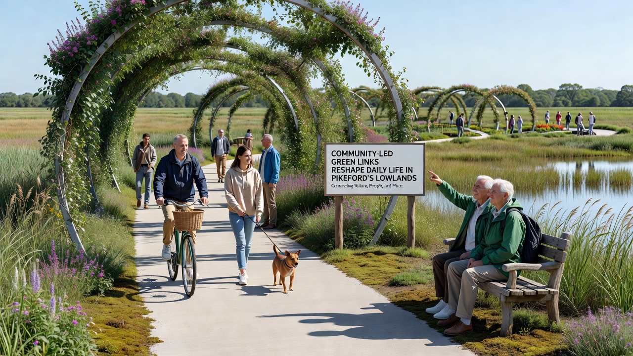
Signage follows consistent branding developed through public workshops, using symbols rather than extensive text to accommodate diverse language needs. Wayfinding markers indicate distances to key destinations and highlight points of interest such as historic hedgerows or viewpoints over the surrounding farmland. Accessibility audits conducted in July 2026 confirmed that 92 percent of the network meets standards for wheelchair and mobility scooter use, with remaining sections scheduled for ramp additions by early 2027.
Broader Connections
The Pikeford network links into larger regional trails managed by neighboring authorities, creating continuous routes that extend toward market towns. Coordination meetings held quarterly bring together representatives from multiple parishes to align standards and share equipment. A joint application submitted in August 2026 seeks recognition under a national active-travel framework, which could unlock additional resources for signage upgrades and safety features.
Academic partners from institutions in Canada and Australia have begun comparative studies, examining how similar community-driven corridors perform in different climates and governance structures. Preliminary findings shared at a virtual symposium noted comparable increases in physical activity metrics across sites, though seasonal usage patterns varied with rainfall and temperature.
Conclusion
Records maintained by the project coordinators show steady expansion of the green links, with new segments planned through 2027 that would double the total length. Usage statistics compiled each quarter provide ongoing evidence of shifts in local movement patterns, while ecological surveys continue to track habitat changes along the corridors. The approach relies on sustained volunteer input and inter-parish cooperation to maintain functionality and expand reach over time.